
Dangsanbong: a hydrovolcano at the end of Olle Course 12 and the Turtle Rock viewpoint
Dangsanbong in Yongsu-ri, Hangyeong-myeon, is a hydrovolcano formed by an explosive reaction between water and magma, and a World Geopark site. Choose the 15-minute A course or the 40-minute B course, and from the viewpoint just below the top look down on the coast running north and south.
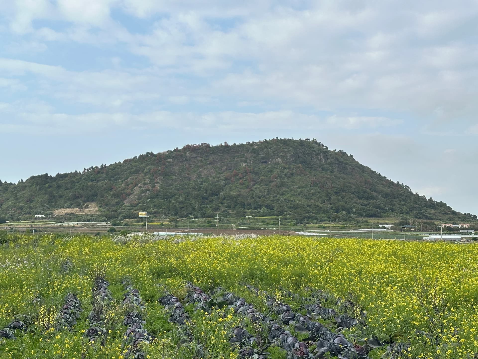
Dangsanbong is an oreum in Yongsu-ri, Hangyeong-myeon, Jeju-si. It sits at the end of Jeju Olle Trail Course 12 and is also a World Geopark site. It is a hydrovolcano formed by an explosive reaction between water and magma, and together with Sanbangsan and Yongmeori in Andeok-myeon, Seogwipo-si, it is one of Jeju's old volcanic bodies.
Even a short climb lets you look down on the west coast and the fields at once, so it is a good place to stop for a while on a day travelling west along the coast.
The story in the name: a shrine where snakes were worshipped
The name comes from a shrine, Chagwi-dang, where rites for snakes are said to have been held since long ago. The village's old beliefs live on in the name of the peak.
If you keep the name in mind on the way up, you find yourself imagining what this peak, standing between the fields and the sea, meant to the villagers.
Today the shrine's name survives only in the name of the peak, yet it brings to mind the long life of a village between the sea and the fields. Knowing the name as you climb makes even a low peak look a little different.
Photo: Grapesurgeon / Wikimedia Commons · CC BY-SA 4.0A course 15 minutes, B course 40 minutes: choosing a path to fit your time
Dangsanbong is divided into a short A course of 15 minutes and a B course that takes 40 minutes. Simply choose the path that fits your time that day. On a tight schedule, take the A course just for the view and come down; on a day with time to spare, walk the B course slowly.
Neither course is long, so either fits easily between morning and afternoon plans. Still, counting the time you spend at the viewpoint, it is better to allow a little more time than the walk itself.
If it is your first time on this oreum, agree with your group on when to come down before you set off. After rain the dirt path can be slippery, so it is safer to watch your footing as you walk.
 Photo: Grapesurgeon / Wikimedia Commons · CC BY-SA 4.0
The coast seen from Turtle Rock and the viewpoint below the top
As you climb while taking in the scenery, you find Turtle Rock and a viewpoint just below the top. From the viewpoint the Sinchang Windmill Coastal Road runs to the north, and to the south the blue coast as far as Suwolbong and Sanbangsan spreads out at a glance.
Along with the blue coast, enjoying the quiet plains of Hangyeong-myeon is another pleasure of this viewpoint. Look back and forth between the sea and the fields, and slowly follow where the coastline bends and how far the fields stretch.
If you take photos, capture the northern and southern views in separate shots. Later it is fun to match the coastal road and the peaks to their names again from your photos.
The view along the coastal road to the north and the coast spreading to the south have a different feel. If you have looked one way for a long time, turn around and look the other way for just as long.
 Photo: Grapesurgeon / Wikimedia Commons · CC BY-SA 4.0
What to check before you go
Many oreums have addresses registered as mountain land, so navigation may not find the exact location, and many have no separate car park. Some oreums are private land where access is restricted or controlled. Before you set out, check accurate information with an information desk such as the Jeju Tourist Information Center.
On the day you go to Dangsanbong, bring a bottle of water and a light jacket. If you plan to linger at the viewpoint in the wind, a jacket will put your mind at ease.
Rather than setting out to find where Chagwi-dang stood, the way to enjoy this peak is to look down on the village and the sea together while thinking of the story in its name. The A course suits a day when you only want the view, and the B course a day when you want to walk a little more.
Looking north from the viewpoint you see the coastal road running along the shore, and looking south a long, curving coastline. Turn your eyes to the fields and the plains of Hangyeong-myeon spread out, with fields and villages lying low. On a calm day, stay a little longer at the viewpoint and let your gaze move slowly along the coast.
If you have trouble finding the trailhead, don't force your way in by just any path; go back to the trailhead confirmed by an information desk.
After seeing the west coast, a meal in Aewol
If you come down from Dangsanbong and head toward Aewol along the coast, consider adding Mipojip Jeju Aewol to your list of places to eat. Check the travel time and traffic on a map before you set off.
If you want to satisfy the hunger of a day spent looking down on the coast and fields from the viewpoint, take a look at the menu of Mipojip, which serves haemuljang (soy-cured seafood) and sotbap (pot rice). Talking over the coast running north and south during the meal would make for a nice time as well.
- Dangsanbong
- Yongsu-ri
- Hangyeong-myeon oreum
- World Geopark
- Jeju Olle Course 12
- Mipojip
Read next
 Aewol, Jeju
Southernmost Yellowtail Festival 2026: four days at Moseulpo Port from 19 November
The 26th Southernmost Yellowtail Festival runs for four days, from 19 to 22 November 2026, around Moseulpo Port in Daejeong-eup, Seogwipo. The opening ceremony is on the evening of the 19th and the closing ceremony on the evening of the 22nd, and boats to Marado and Gapado leave not from the festival ground but from Unjin Port (Moseulpo South Port).
 Aewol, Jeju
Dansan: seeing Sanbangsan and the Daejeong plains from Bagumji Oreum, shaped like a bat with spread wings
Dansan, in the village of Inseong, is also called Bagumji Oreum because its three peaks look like a bat spreading its wings. From the top, at the end of a path that climbs over rock, you can see Sanbangsan and Hallasan, and on clear days even Hyeongjeseom, Marado and Gapado.
 Aewol, Jeju
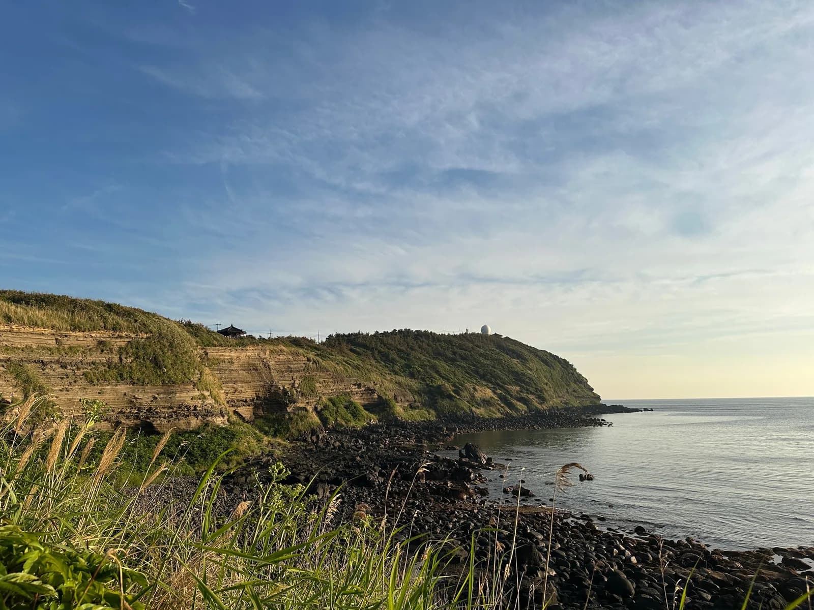
Suwolbong: volcanic-ash cliffs and a sunset over the sea at Jeju's western tip
Suwolbong is a 77 m viewing peak in western Jeju. Here you can find Suwoljeong Pavilion and the Gosan Weather Observatory at the top, a geo-trail along the coastal cliff called Eongal, the sun setting toward Chagwido and the legend of Nokgomul spring.