
Suwolbong: volcanic-ash cliffs and a sunset over the sea at Jeju's western tip
Suwolbong is a 77 m viewing peak in western Jeju. Here you can find Suwoljeong Pavilion and the Gosan Weather Observatory at the top, a geo-trail along the coastal cliff called Eongal, the sun setting toward Chagwido and the legend of Nokgomul spring.
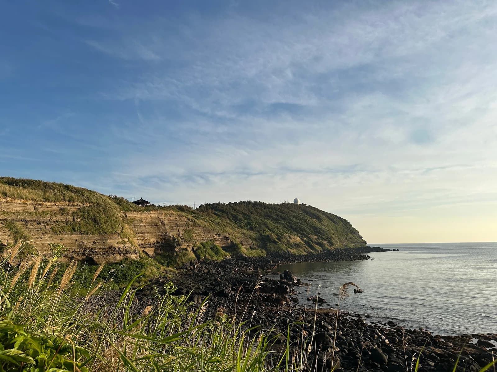
At Gosan-ri, Hangyeong-myeon, on Jeju's western tip, there is a peak that is not high but holds a refreshing view. Suwolbong is a viewing peak in western Jeju, 77 m above sea level, and the view from its top clears your chest.
Many people head for the top first, but if you follow the shoreline below the peak you meet an entirely different face. Decide which to see first, the top or the shore, and where to be at sunset, and the day becomes much richer.
Suwoljeong Pavilion and the Gosan Weather Observatory at the top
At the top stands Suwoljeong, a hexagonal pavilion where rain rituals were once held, and beside it rises the Gosan Weather Observatory. It sits at the western end of Korea's southwest coast, and almost every kind of weather observation is carried out there. On the observatory's fifth floor there is an observation deck open to the public.
Sitting in Suwoljeong and watching the sun go down toward Chagwido is a scene too good to miss here. If you go at sunset, you can watch the sun sink toward Chagwido.
Photo: Grapesurgeon / Wikimedia Commons · CC BY-SA 4.0The Eongal coastal cliff and the geo-trail
The coastal cliff, which looks as if it had been carved, runs for up to 2 km to the east. The cliff is called Eongal, and spring water wells up here and there along it, so it is also widely known for a mineral spring called Nokgomul.
Below the peak, a geo-trail runs along the shoreline. The volcanic deposits piled up along the cliff are magnificent, and the scenery made by the layers of volcanic ash and volcanic bombs leaves you speechless. Most people visit the top, but be sure to also walk the geo-trail that reveals itself along the shoreline below.
From the entrance, go a little way in to where the path splits between the way to the top and the observatory and the way to the geo-trail and Jagunae Port, then look to the left: there is a spot where many people take photos.
If you want to see both the top and the shore, an easy order is to walk the geo-trail first while the sun is high, then climb to Suwoljeong at the top toward sunset. The rock layers show more clearly in daylight, and the sunset looks wider from up high.
 Photo: Grapesurgeon / Wikimedia Commons · CC BY-SA 4.0
Walking while reading the information boards
As you walk the geo-trail, read the information boards you come across carefully too. You can learn everything from how Suwolbong, with its grand layers, came to be, to the painful history of the Japanese colonial period. Only at signs with an NFC mark, if you hold your smartphone up to the sign, you can hear a more detailed explanation.
There is also commentary by geopark guides. Booking by phone is recommended and on-site sign-up is possible; it is closed on January 1 and on the day of Seollal and Chuseok. Check the operating hours before you visit.
The story of the brother and sister told at Nokgomul
This legend is told about Nokgomul, the spring that wells up from the seaside cliff. About 380 years ago in Gosan-ri, an older sister named Suwol and a younger brother named Nokgo lived lovingly together, caring for their widowed mother. One spring their mother fell gravely ill; the siblings nursed her devotedly, but she did not improve, and then from a passing monk the siblings heard a prescription: find a hundred kinds of medicinal herbs.
After all kinds of hardship they had gathered ninety-nine herbs but could not find the last one, until at last they discovered it growing halfway down the cliff. Holding Nokgo's hand, Suwol carefully climbed down the cliff and dug up the herb, but at the very moment she handed it to him, Nokgo let go of his sister's hand, and Suwol fell to the foot of the cliff.
Overwhelmed by guilt and grief, Nokgo wept endlessly on that spot, and the spring that flows near the cliff is said to be Nokgo's tears, still mourning his sister's death. If you come across water welling up from the cliff as you walk the shore, think of this story.
 Photo: Grapesurgeon / Wikimedia Commons · CC BY-SA 4.0
What to check before you go
The address is 3760 Gosan-ri, Hangyeong-myeon, Jeju-si, Jeju Special Self-Governing Province. The coastal geo-trail passes beneath the cliff, so on days of high waves don't go too close to the water. If you stay until sunset, the way back gets dark quickly, so plan your route in advance.
After the sunset at the western tip, a meal in Aewol
If you head toward Aewol after watching the sun set over the sea from Suwolbong, consider adding Mipojip Jeju Aewol to your list of places to eat. Check the travel time and traffic on a map before you set off.
If you want to satisfy the hunger of a day spent on the geo-trail, take a look at the menu of Mipojip, which serves haemuljang (soy-cured seafood) and sotbap (pot rice). Talking over the cliff layers and the story of Nokgomul during the meal would make for a nice time as well.
- Suwolbong
- Suwolbong geo-trail
- Eongal Coast
- Gosan Weather Observatory
- Jeju sunset
- Chagwido sunset
- Mipojip
Read next
 Aewol, Jeju
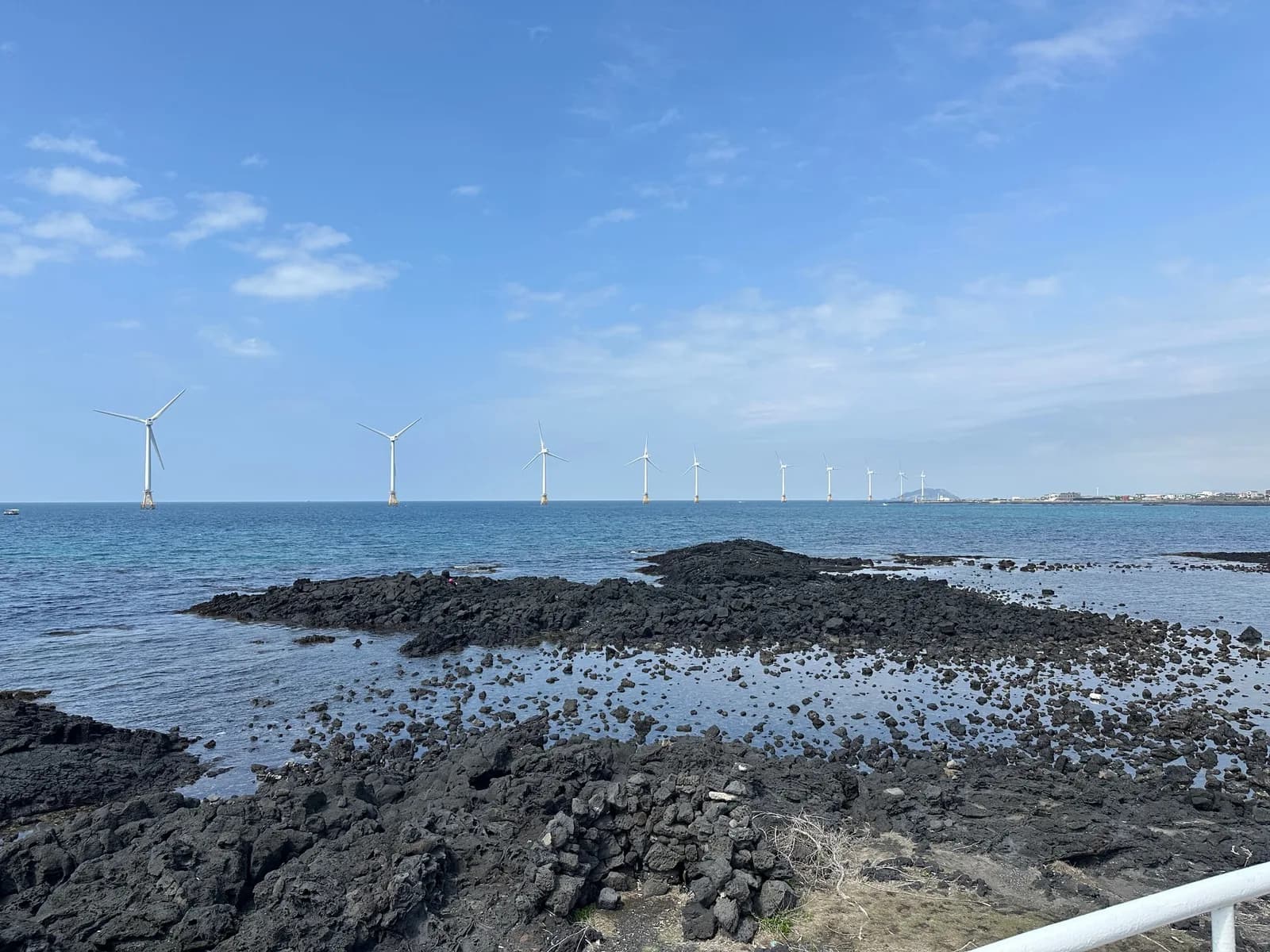
Sinchang Windmill Coastal Road: a seaside road at Jeju's western tip along white windmills and emerald water
A coastal road running along Jeju's western tip, where the white windmills of an offshore wind farm, emerald water and, far off, Chagwido come into view together. The scenery changes with the tides, and it is also known for beautiful sunsets.
 Aewol, Jeju
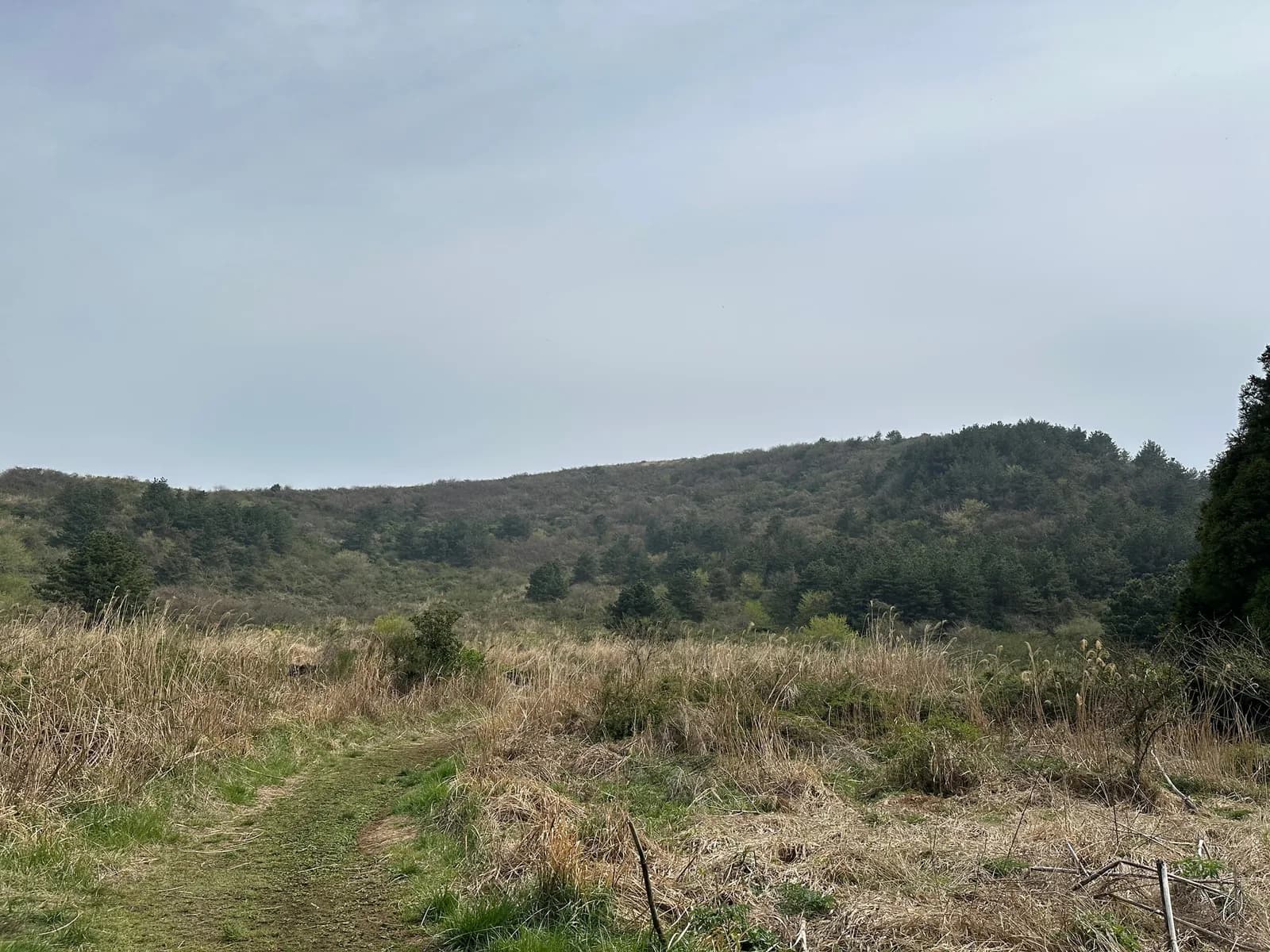
Jeongmul Oreum: a walk on an oreum named after a spring, looking out over Isidol Ranch and the sunset
Jeongmul Oreum, in Geumak-ri, Hallim-eup, takes its name from Jeongmul Spring in front of it. Walk it clockwise, starting up the left path, and you climb facing Hallasan and come down facing the sea; from the top you can see neighbouring oreums and Isidol Ranch.
 Aewol, Jeju
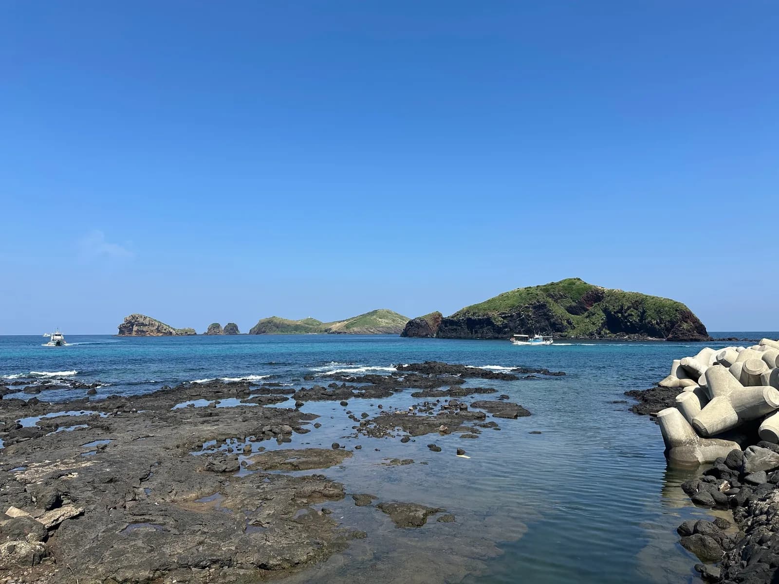
Chagwido: Jeju's largest uninhabited island off Gosan-ri, and the legend of the eagle
Chagwido is the name for the main island together with small neighbouring islands such as Jukdo, Wado and Jijiri-seom. You go in by sightseeing boat from Jagunae Port in Gosan-ri and return on the same boat after free time on the island; today it is Jeju's largest uninhabited island.